


IN CANADA
GUARANTEE
IN ONTARIO

CAD$ 470.23
Omnia Product Expert is nline !
FOUND A LOWER PRICE? We'll Beat Any Lower Price You Find!
Some Condition Applies*
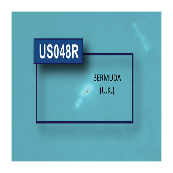
Garmin Bluechart 174 Marine Cartography 010-C1024-00 SKU Listing / Specs
| Purchase | Part Number | Image View | Name | Detail Specs | UPC |
|---|---|---|---|---|---|
|
SKU: 010-C1024-00
CAD$ 470.23
|
 Enlarged View |
Garmin Bluechart 174 Marine Cartography 010-C1024-00 SPECIAL ORDER
SPECIAL ORDER (Estimated Ship Date: 4 - 8 Weeks) UpdatedOn: 11/27/2025 12:00:00 AM |
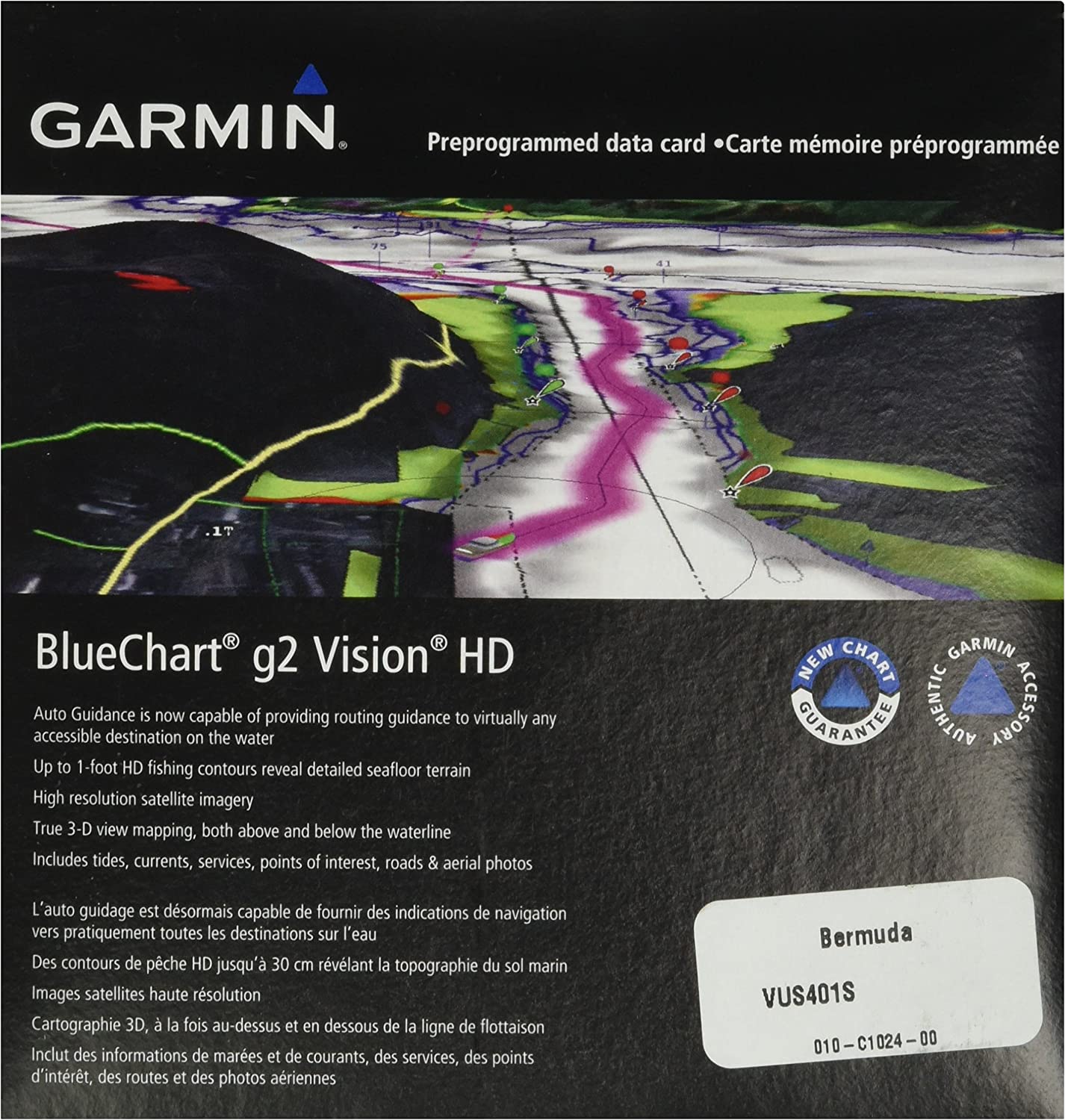
Universal Fit Product. Realistic navigation features showing everything from shaded depth contours and coastlines to spot soundings, navaids, port plans, wrecks, obstructions, intertidal zones, restricted areas, IALA symbols and more |
753759095536 |
Hot Product recommendation:


- Realistic navigation features showing everything from shaded depth contours and coastlines to spot soundings, navaids, port plans, wrecks, obstructions, intertidal zones, restricted areas, IALA symbols and more
- Smooth display presentation including seamless transitioning between zoom levels and more continuity across chart boundaries
- Safety shading allows user to enable contour shading for all depth contours shallower than user-defined safe depth
- Fishing charts to help scope out bottom contours and depth soundings with less visual clutter on the display.
- Includes high-resolution satellite imagery, aerial reference photography, MarinerEye 3-D view, FishEye 3-D view and Auto Guidance technology. Also compatible with Garmin's HomePort software.